Kollfjarðadalur – Leynar
This walking trip starts at the Búnaðardepilin (the farming centre) in Kollfjarðadalur. Bus route 300 runs from Vágar and route 100 from Vestmanna or Tórshavn. The busses from Vágar and Vestmanna stop at the Statoil station in Kollfjarðadalur, where you have to change busses. You can also take bus route 400 from Fuglafjørður, Leirvík or Tórshavn. The bus stop is at the mouth of the tunnel above Oyrareingir.
From there, you walk along the main road to the Búnaðardepilin, about 1 km, until you come to a gate on the left side of the road. From the gate, you first walk along a farm road until you come to the actual village path. Three rivers run down to Kollfjarðadalur by the Búnaðardepilin. The trip begins at the middle river, Brekká, which flows north of the Búnaðardepilin. Walk along the river and keep the cairn in sight as a landmark. You turn northwards by the first cairn after crossing the old mountain road, Oyggjarvegurin, a carriage road.
At the next cairn, you arrive at Skælingsvatn. The lake has had other names, one of which is Nykatjørn (Nix’s pond). In earlier times, people noticed that something alive and abnormally large lived in the lake, and the general opinion was that it must be the Nix. The Nix is a creature that lives in lakes, and is said to resemble a horse. There are reports of people who went to catch it and caught a huge trout in their nets. In this way, they got rid of the Nix and the name Nykatjørn.At the lake, three outfields meet: Norðari Skælingshagi, Hagin Uttan Fyri Húsini in Leynar and Heygshagi in Kollafjørður. Several paths also meet here. They are the old paths coming from the south: Oyggjargøtan, the path you are walking from Kollfjarðadalur to Leynar and the path to Skælingur.
The mountain north of Skælingsvatn is called Sátan. Here, you can see the geological formation “The Streymoy Sill” (Streymoyarsyllin), and one can often see fulmars on the mountain cliffs. South of you is Skælingsfjall. It was first thought that it was the highest mountain in the Faroes, but when the height was measured with modern gauge equipment, it showed the mountain to be 100 m lower than the highest. It is the custom to climb Skælingsfjall on Jóansøkukvøld (Midsummer Night) to see the sunset and then the sunrise a few hours later.
As you walk further, you will get a view over to the islands Vágar to the west, and later of
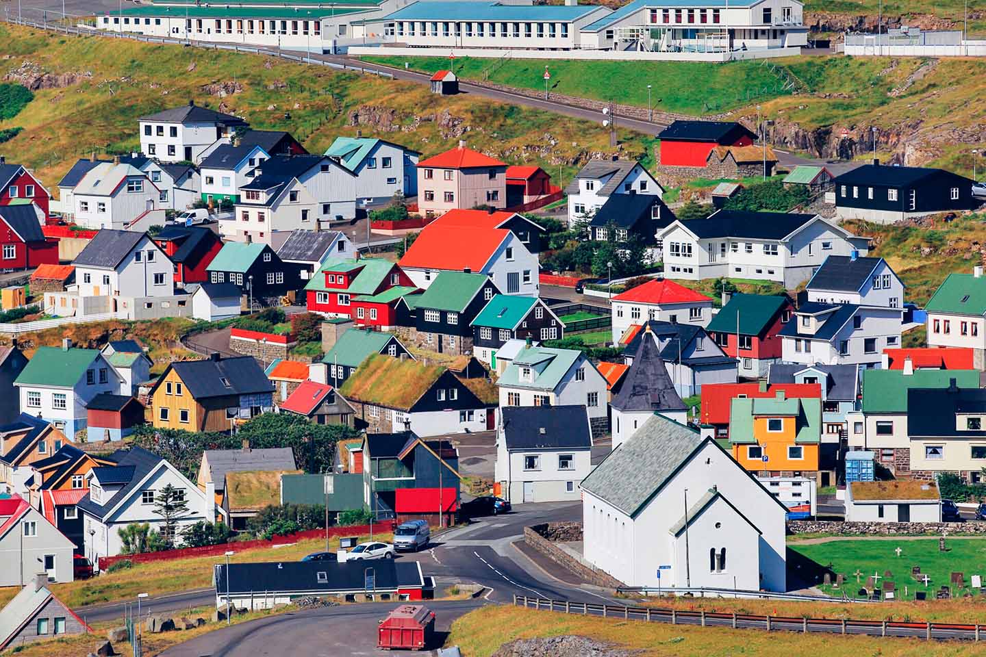
Koltur to the south. The cairns lead you all the way down to Leynar village.
The bus stops at Frammi á Trøð at the village Stykkið just after you cross the bridge.
Source: “Walking in the Faroe Islands” published by the Faroese Tourist Board in 200