Miðvágur – Bøsdalafossur
Bus route 300 runs through Miðvágur from Bøur and from Tórshavn.
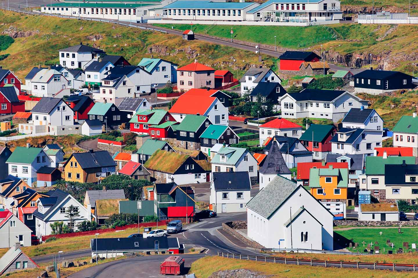
Get off the bus at the police station in Miðvágur and walk southwards the first stretch through the village until you come to the outfield gate. Walking through the village, you will see in an easterly direction Trøllkonufingur (the troll woman’s finger). It is a high projecting rock on Sandavágur’s side. You now come to the outfield gate where the path starts. You walk along a lot of peat bogs and remains of peat stores. There are no cairns on the path. Vatnið is the largest lake in the Faroes. It is called Leitisvatn as well as Sørvágsvatn, but most people call it Vatnið. There are several legends about the enchanted realm at Vatnið.
On the way from Miðvágur to Sørvágur, there was supposed to be a huldu mound. One day, a huldu woman (stone spirit) asked a priest to come inside. There were supposed to be many trolls inside. On leaving, the priest, who knew how to practise witchcraft, made sure to seal the mound so that it could not be opened again. There was said to be both moaning and wailing within.
There has also been a Nix at Vatnið. The Nix, which is a creature that lives in lakes, often resembles a beautiful horse. It lures people to it, grabs them and then pulls them to the bottom of the lake. Once upon a time, children had gone to play by Vatnið. Then a Nix came to them in the shape of a horse and they climbed on its back to play. The smallest boy, who could not get up, was frightened and called out to his brother Niklas: “Brother Nika” (he had not learned to talk yet). The Nix, thinking it to be its name being called, lost its power and disappeared, and the children were saved. The Nix loses all its power when called by name.
In Úti í Svanga, there are many birds in the summer.
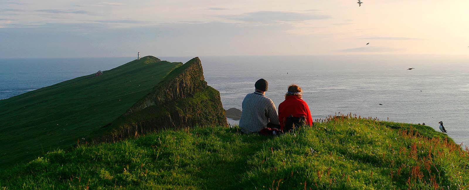
Trælanípa (slave mountain top) is a perpendicular rock wall, which juts 142 m straight up out of the sea. Supposedly, it has gotten its name from the Viking Age when slaves were pushed off here. Be careful not to get too close to the edge, it is steep! From here, you can see the southernmost part of Stremoy, Hestur, Koltur, Sandoy, Skúvoy and Suðuroy.
When you arrive right at the edge of Bøsdalafossur, you can see ruins from buildings that the British left behind in Vágar after World War II. You can cross Bøsdalaá by using the stepping stones that are placed in the river. Then you can walk up to a gorge, where there is a fine view of the cliff Geituskorardrangur. You also see the bird cliffs Sørvágsbjørgini , Mykines and Mykineshólmur and to the south, you can see Sandoy, Skúvoy and Suðuroy.
For the trip back, use the path by the lake on the same side you came. The end of the path is through a walled sheepfold.
Bus route 300 has five bus stops in Miðvágur.
Source: “Walking in the Faroe Islands” published by the Faroese Tourist Board in 2003